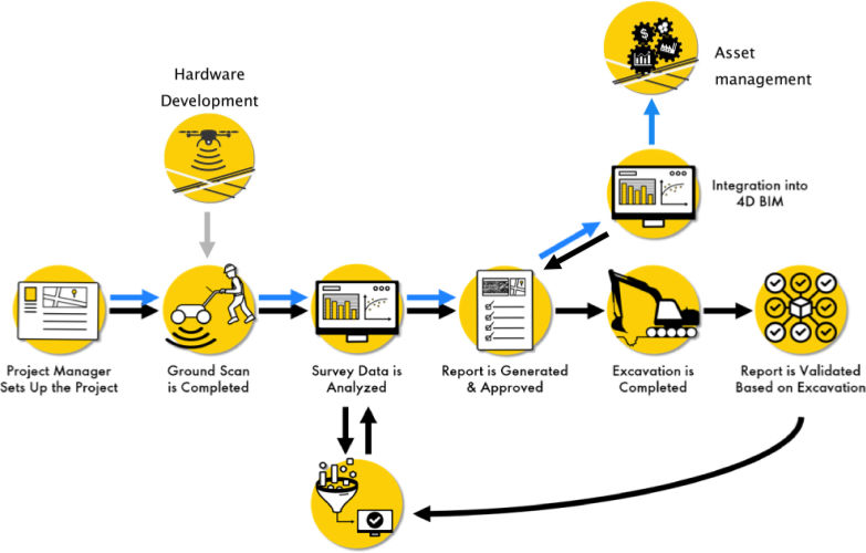
The value of UGI – demonstrated with completed pilots – per use case:
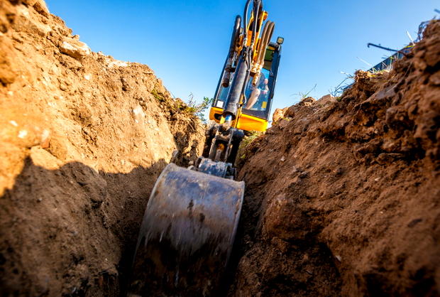
- Prevent excavation damage during construction. Blind tests in Pernis and Moerdijk (Downstream sites in the Netherlands) demonstrated high fidelity data interpretation – and significant cost savings of 500kUSD – in complex Brownfield environment is possible.
- Reduction of scope for hand-digging / expensive hydro excavation. At PDO in Oman the UGI team demonstrated a scope reduction of 80-90% for hand-digging and resulted in an additional pilot which will secure a largescale deployment for a Brownfield project.
- Support pre-FEED design. Successful pilots are completed for New Energies in US for upgrading fuel stations with hydrogen & EV supply. The information provided to the team has improved the front-end design work. As built proved to be highly unreliable.
- Detect anomalies in soil conditions. Some soil characteristics impact GPR reflections. Anomalies in the vicinity of corroded underground utilities are a red flag for leakages and soil contamination. i.e. Firewater ring main leakages were detected for a tank farm terminal in Luxembourg


